
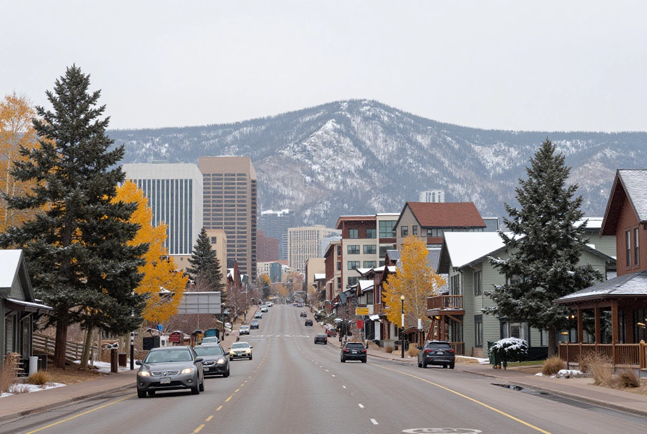
Cooler Weather Brings Rain to Denver and Snow to Colorado’s Mountains
A mid-October weather system brought cooler temperatures, rain, and mountain snow to Colorado, marking a sharp change from the unusually warm conditions earlier in the month.
The National Weather Service’s Denver/Boulder office forecast widespread rain across parts of northeastern Colorado and several inches of snow at higher elevations from Wednesday, October 14, into Thursday, October 15. The system also prompted winter weather advisories for some mountain areas and raised concerns about travel conditions at higher elevations.
What the Weather Change Means for Residents
The transition to cooler and wetter weather could affect daily commutes, outdoor activities, and travel between Denver and Colorado’s mountain communities.
In the Denver metropolitan area, the forecast called for cloudy skies, periods of rain, and substantially cooler temperatures than those experienced earlier in October. Higher elevations faced a greater risk of accumulating snow, potentially making mountain roads more difficult to navigate.
The National Weather Service also warned that temperatures could fall below freezing across much of the eastern plains late Thursday night into early Friday morning, increasing the risk of frost and freezing conditions.
Mountain Snow and Potential Travel Impacts
The National Weather Service forecast approximately 4 to 12 inches of snow for mountain areas above roughly 9,000 to 10,000 feet. Lighter snowfall, including at least a dusting in some locations, was also possible in mountain valleys and higher foothills.
The Winter Weather Advisory for the affected mountain zones was scheduled to remain in effect through early Thursday morning, October 15.
Snow, reduced visibility, and colder road surfaces can complicate travel over mountain passes, particularly for drivers who have not yet prepared their vehicles for winter conditions.
Motorists traveling through the Rockies should check current road reports and weather alerts before departing, as conditions can vary significantly by elevation and location.
A Seasonal Shift After Unusually Warm Conditions
The weather system followed a period of unseasonably warm weather across the Denver/Boulder forecast area earlier in October.
The arrival of cooler air and increased precipitation illustrates how quickly Colorado’s weather can change during the fall transition. Conditions can differ considerably between the Denver metropolitan area, the foothills, and higher mountain elevations.
The National Weather Service forecast drier and warmer conditions returning toward the weekend, although freezing temperatures remained a concern overnight Thursday into Friday.
What Residents and Travelers Should Do
Residents and visitors can take several practical steps when temperatures drop and mountain weather becomes unsettled:
- Check official forecasts: Review the National Weather Service’s latest alerts and local forecasts before making outdoor plans.
- Monitor road conditions: Consult the Colorado Department of Transportation for current road closures, restrictions, and travel advisories.
- Prepare vehicles for colder weather: Check tires, windshield wipers, fluids, and emergency supplies before driving into the mountains.
- Protect plants and outdoor plumbing: Where freezing temperatures are expected, take appropriate precautions to protect sensitive plants and exposed pipes.
Weather conditions can change quickly, especially in higher elevations. Checking updated forecasts and road reports is the best way to plan around changing conditions.