
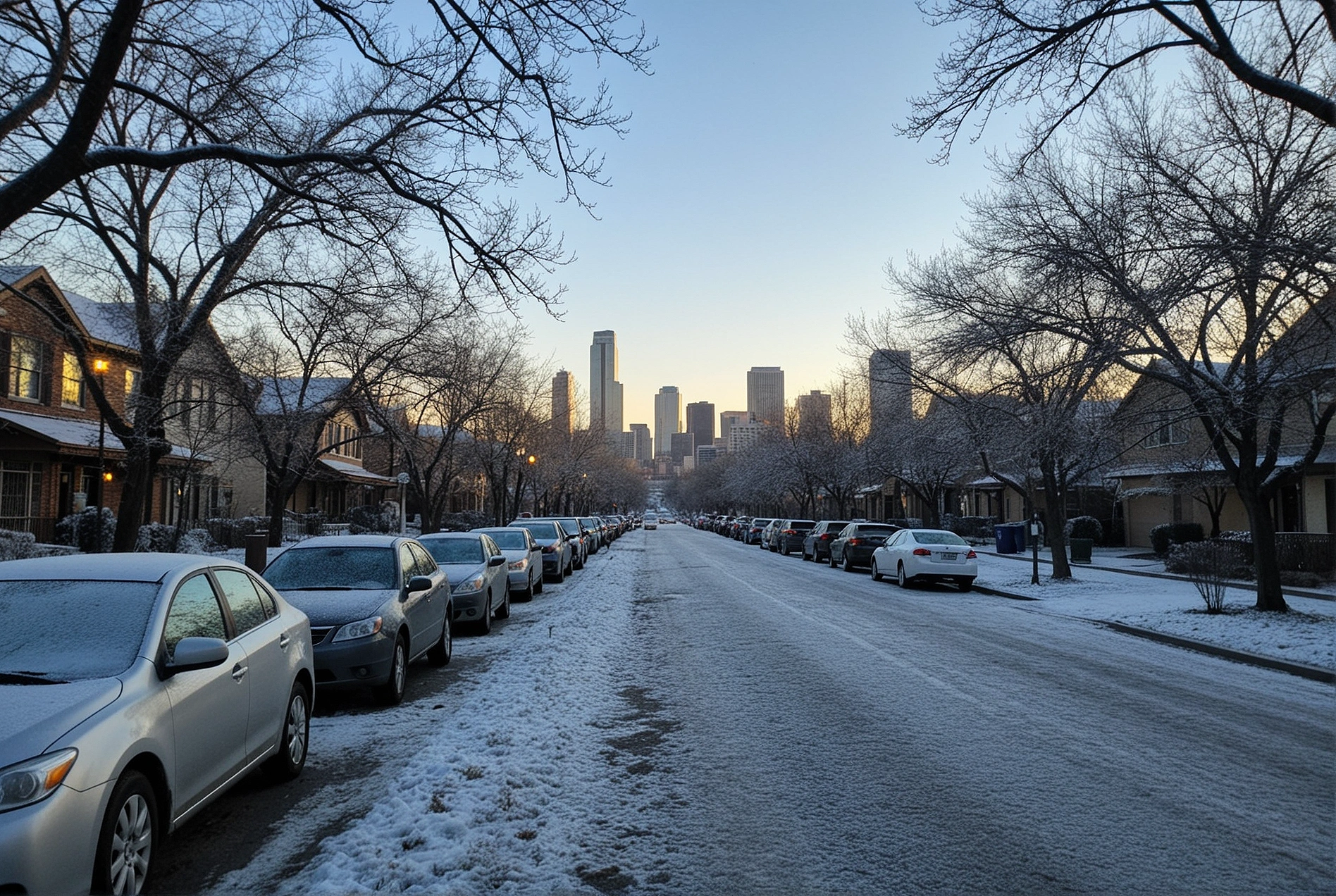
Texas Sees a Shift in Weather Pattern as September Heat Continues
Texas is experiencing a change in its weather pattern this week as a weak frontal boundary moves through parts of the state. While the system is bringing somewhat drier conditions and modest changes in temperatures, current forecasts do not indicate a widespread freeze or an early-season cold snap.
The National Weather Service says above-normal temperatures will continue across much of North and Central Texas through the end of the week, with a more noticeable cooldown not expected until later.
What the Current Forecast Shows
In the Dallas-Fort Worth area, temperatures are expected to remain well above freezing. The National Weather Service is forecasting highs in the mid-90s through the weekend, with only a modest cooldown expected later in the forecast period.
South Texas is also expected to remain warm. San Antonio is forecast to reach about 95°F on Thursday and Friday, with overnight lows remaining in the mid-70s.
The Houston-Galveston region is similarly expected to stay warm. The National Weather Service forecasts Thursday highs in the 90s, with overnight temperatures ranging from the upper 60s inland to the lower 80s along the coast.
A Gradual Pattern Change
The current weather pattern is more accurately described as a gradual transition rather than a freeze event.
In North Texas, the National Weather Service says an active weather pattern could return early next week, bringing additional rain chances and the possibility of a more meaningful cooldown.
In the Houston area, a weak boundary is expected to bring drier conditions and slightly lower temperatures Thursday and Friday, although temperatures will remain in the upper 80s and 90s.
What Residents Should Know
Because temperatures are still expected to remain well above freezing across the major metropolitan areas mentioned in the original report, widespread freeze preparations are not currently warranted.
Residents should instead continue monitoring their local National Weather Service forecast, particularly as the weather pattern becomes more active next week. Localized thunderstorms, gusty winds and changing rain chances can still affect travel and outdoor activities.
Practical Takeaway
The latest forecasts do not support reports of a widespread first freeze across North and Central Texas this week. Dallas-Fort Worth, San Antonio and Houston are all expected to remain warm, although a gradual shift toward cooler and wetter conditions may develop later.
Homeowners should continue following official forecasts rather than preparing for freezing temperatures that are not currently in the forecast. For the latest conditions, watches and warnings, residents can check the National Weather Service and local emergency-management agencies.